Maps of the Galapagos Islands
All islands
Reference Map (outline only)
Composite satellite photo from Digital Globe
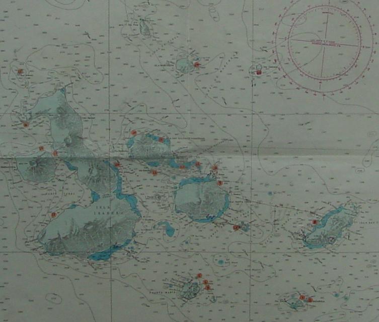
A marine navigation chart
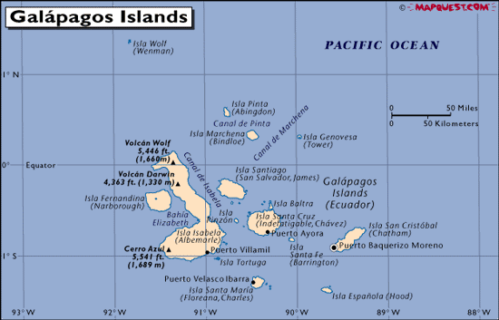
Map with place names
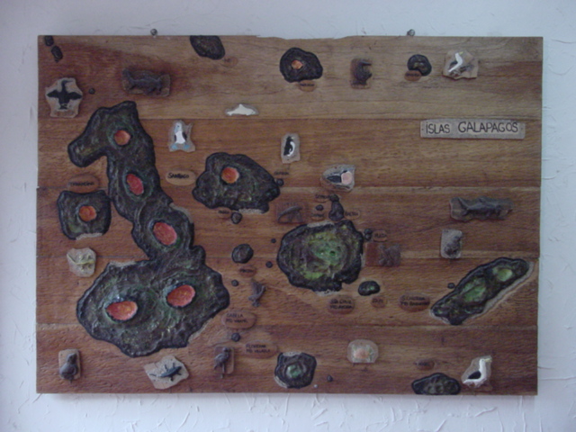
An artistic tourist map
Historic maps of the Galapagos Islands, logs of the H.M.S. Beagle, etc.
San Cristobal
Topo maps of San Cristobal
Composite Satellite Photo of San Cristobal
Source Satellite Photos of San Cristobal
[from Digital Global]
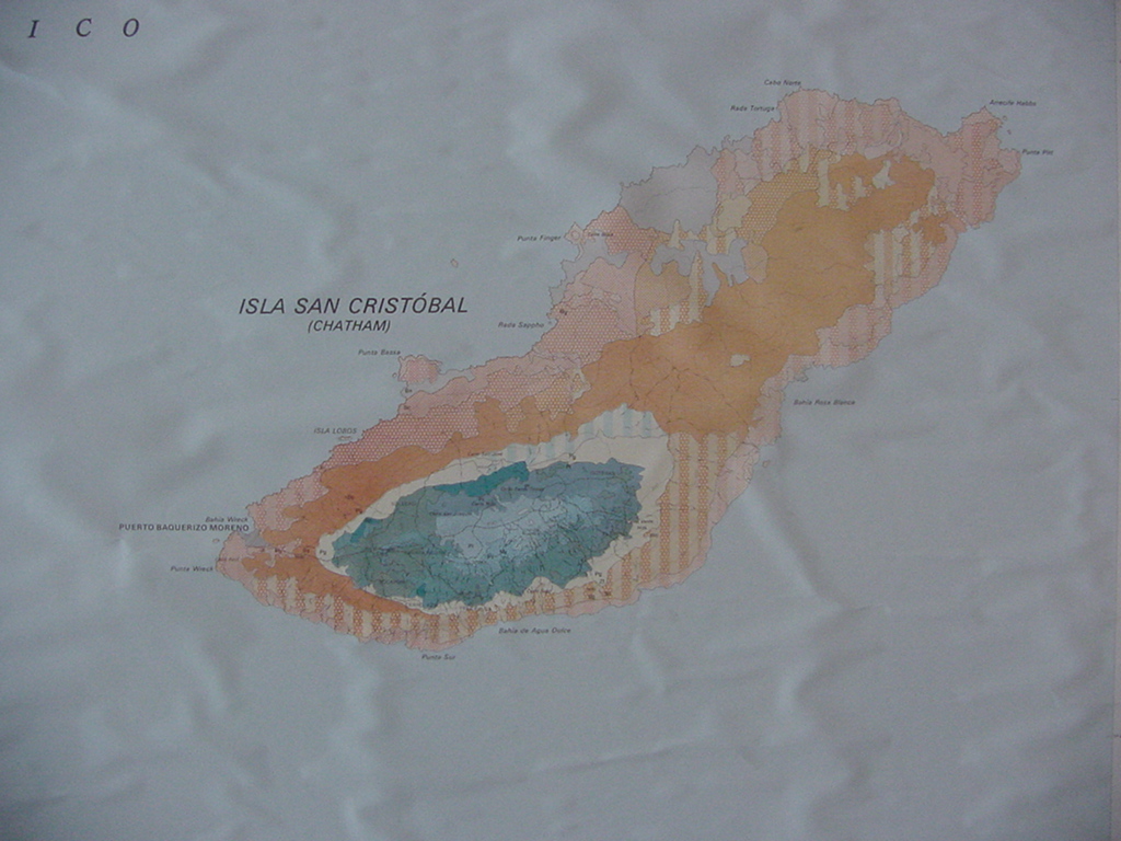
Photo of a map of San Cristobal hanging in the Governor's office
Santa Cruz
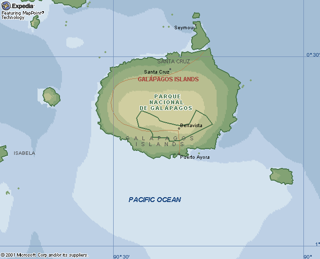
Map with place names
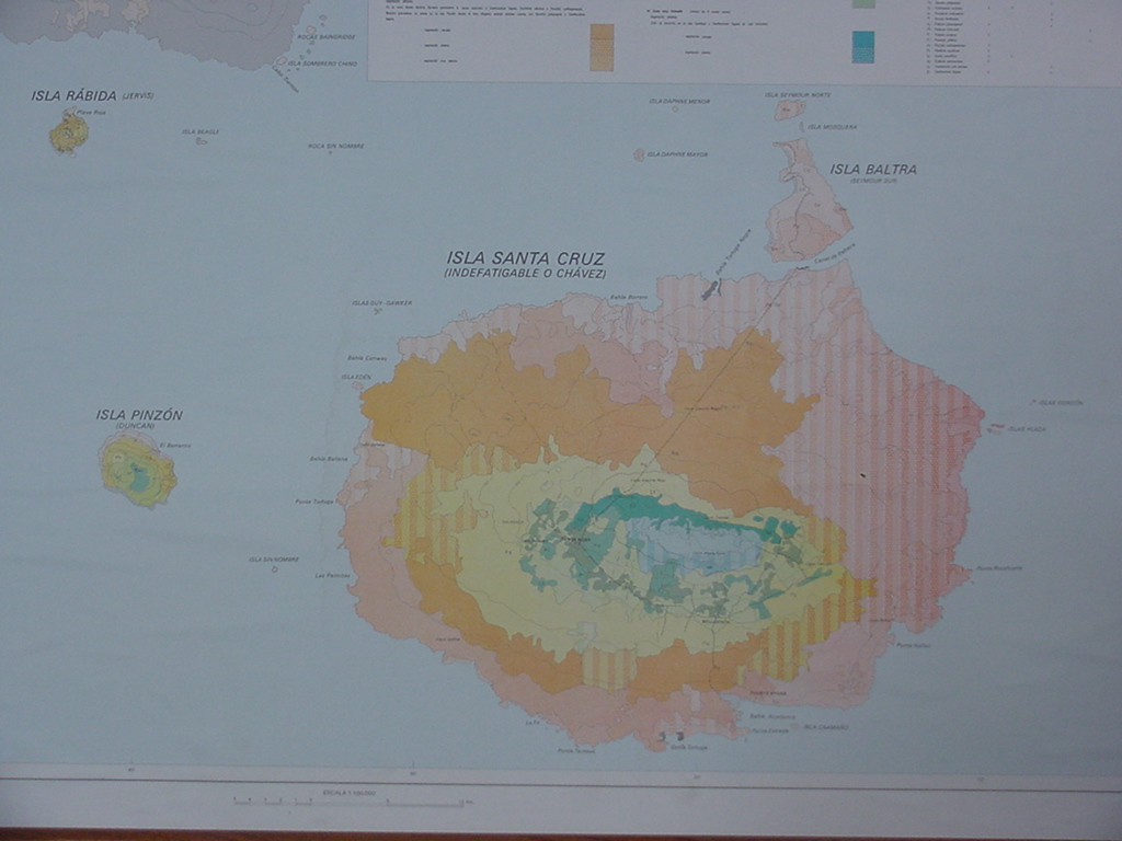
Photo of a map of Santa Cruz hanging in the Governor's office
Puerto Ayora street map
Isabela
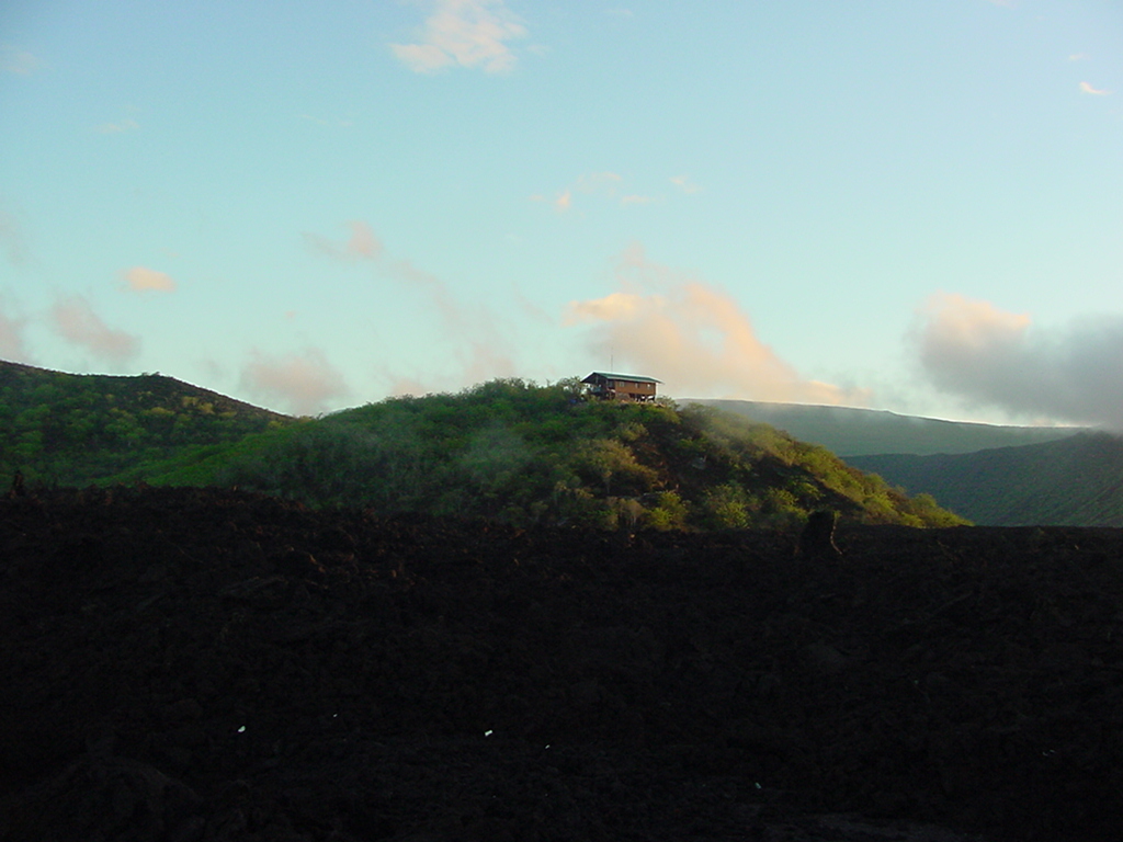
Canal Bolivar
[Channel] between Isabela and Fernandina Islands
(Note horseshoe shaped ridge around the lake discovered by Darwin. The
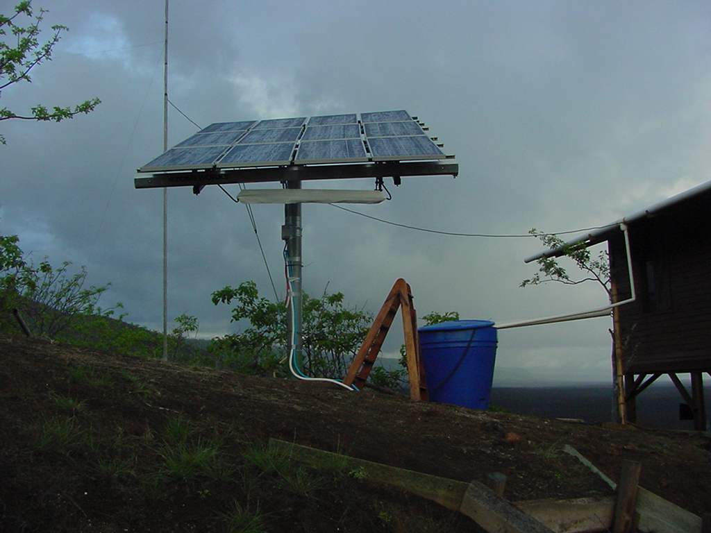
solar powered
caseta
is located on the lower left side of this ridge.)
Websites about
Canal Bolivar
Canal Bolivar and Sea Cucumber poaching
•
FAO document referencing Canal Bolivar
Map showing Darwin's stop at Canal Bolivar
Darwin's diary for October 1, 1835
Narrative of Robert FitzRoy for October 1, 1835


 Canal Bolivar [Channel] between Isabela and Fernandina Islands (Note horseshoe shaped ridge around the lake discovered by Darwin. The solar powered caseta is located on the lower left side of this ridge.)